84-Acre Wooded Property in Springfield, Maine – A Private Retreat With Streams and Beaver Ponds
84 Acres in Springfield, Maine: Wooded Land, Private Roads, and Natural Water Features
Large parcels of wooded land can offer opportunities for recreation, a future home, or a private getaway. In Springfield, Maine, Lot B on Lookout Lane features approximately 84 acres of timberland with established interior roads, several clearings, and natural water features.
The property combines mature forest, varied terrain, and access through an existing road network. Potential uses could include a seasonal camp, a hunting retreat, or a future homesite, subject to local regulations, site conditions, and any required permits.
Located in eastern Penobscot County, the parcel also offers a rural setting within driving distance of nearby communities. For buyers looking for substantial acreage in Maine, it presents a property worth exploring further.
Location in Eastern Penobscot County
Springfield is a small community in eastern Penobscot County, known for its rural character, wooded landscapes, and the longstanding Springfield Fair.
According to the supplied property information, the town of Lincoln is approximately 23 miles away, while Bangor is about 72 miles from the property. These communities offer access to shopping, services, and other regional amenities.
The location may appeal to buyers interested in spending time outdoors while maintaining access to larger towns when needed. However, prospective buyers should confirm driving distances, road conditions, and year-round accessibility before making plans.
Surveyed Boundaries and Established Interior Roads
One of the property’s notable features is a boundary survey reportedly completed in 2020. Clearly identified boundaries can help prospective buyers understand the extent of the parcel, although the survey and any associated documentation should be reviewed before closing.
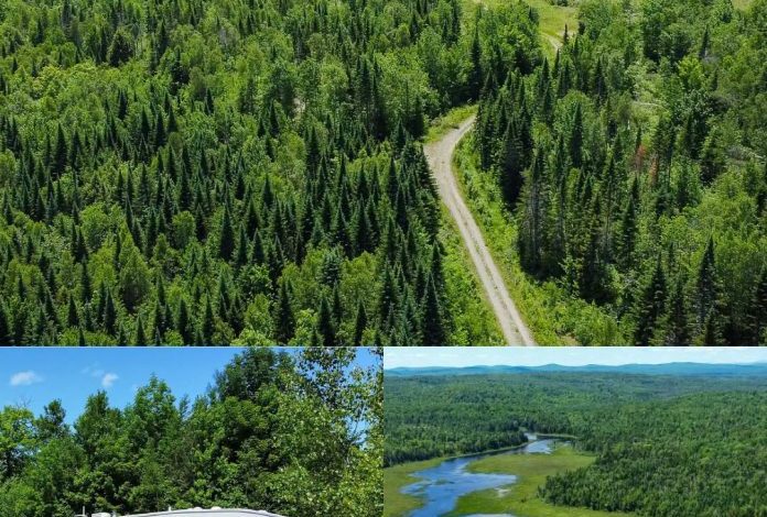
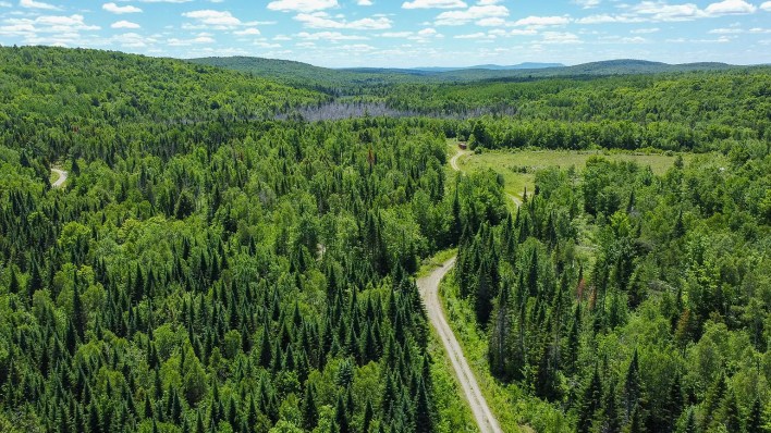
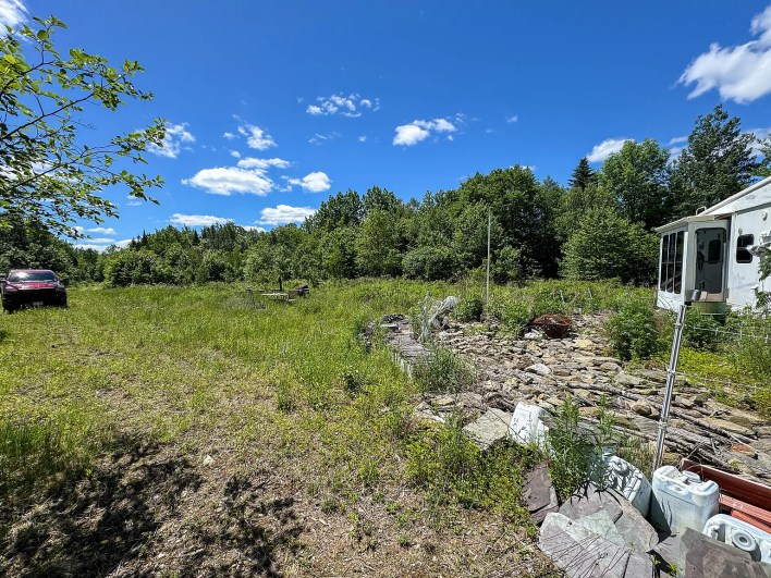
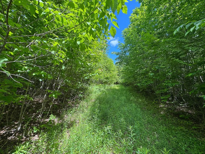
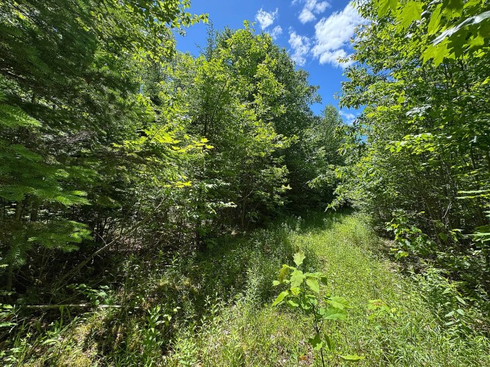
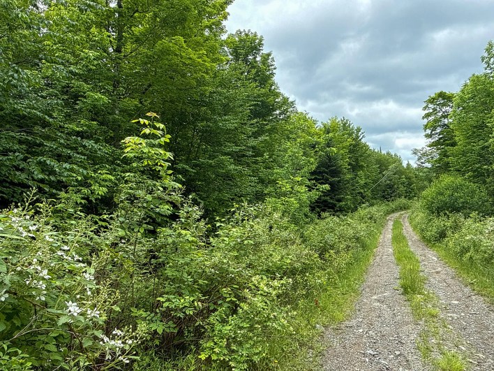
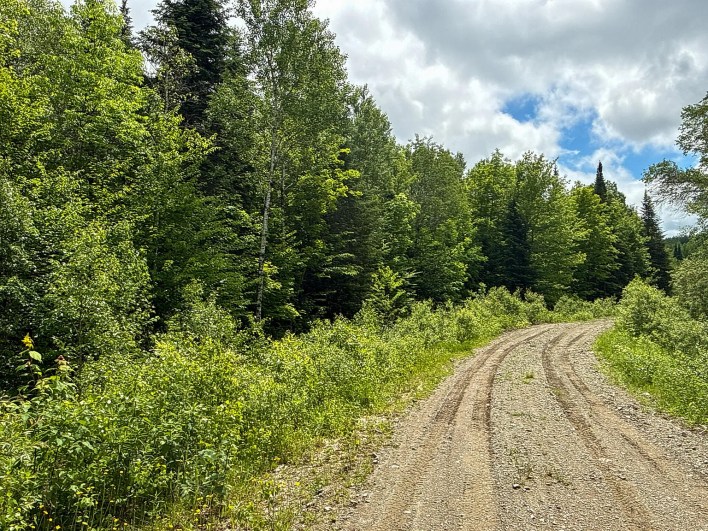
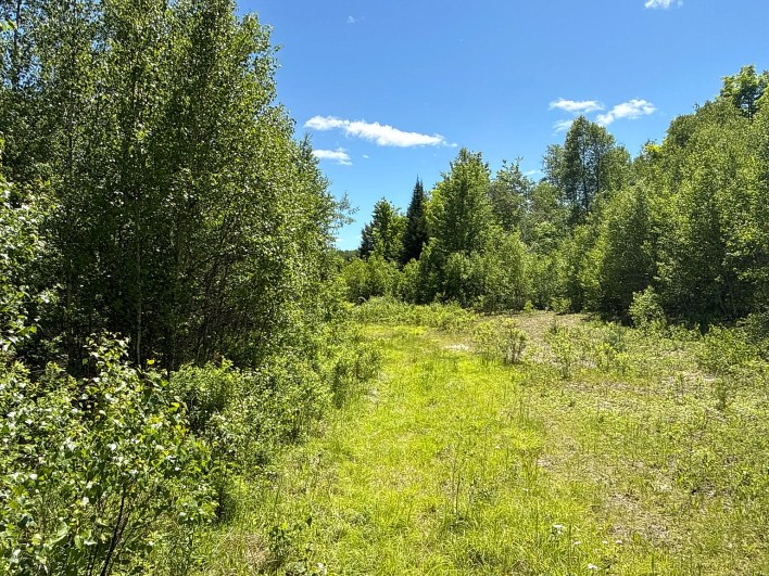
The land also includes approximately 4,000 feet of established interior gravel and dirt roads. These routes provide access to portions of the wooded acreage and may make it easier to reach existing clearings with suitable vehicles and equipment.
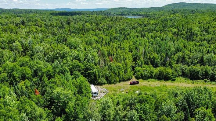
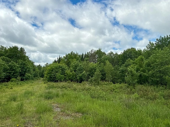
Several open areas along the road network could offer options for parking, recreational use, or evaluating potential building locations. Buyers should still inspect the roads to determine their condition, maintenance requirements, seasonal usability, and suitability for construction traffic.
Potential Building Sites and Recreational Use
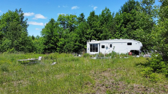
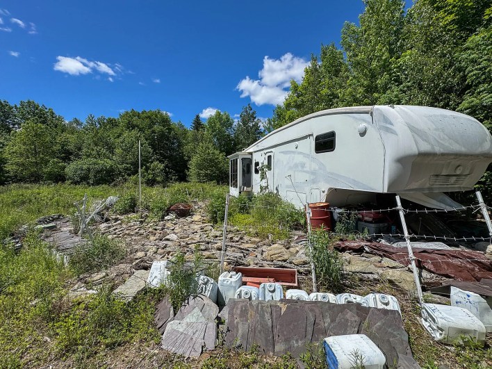
Although the parcel does not include a finished residence, its existing clearings may provide a starting point for future plans. One clearing reportedly contains a travel camper and a stone fire-pit area.
Depending on local land-use rules and site conditions, a buyer might explore developing a seasonal camp, cabin, or year-round residence. Before choosing a building location, it would be important to verify zoning, setbacks, driveway requirements, soil suitability, and the availability of suitable sites for a well and septic system.
An off-grid setup may also be worth investigating for buyers who want a more self-sufficient retreat. However, the feasibility and cost of solar power, backup generation, water systems, and wastewater treatment would depend on the specific location and the buyer’s intended use.
Mixed Forest, Varied Terrain, and Timber
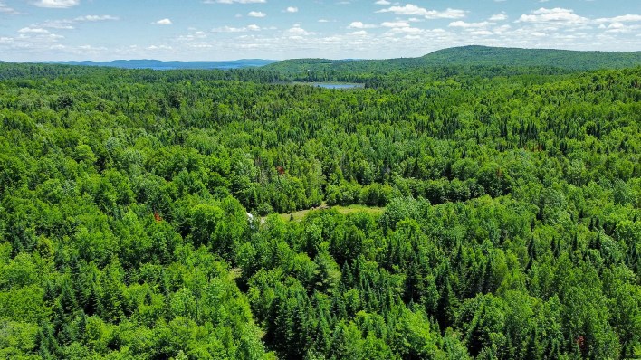
The property reportedly ranges from approximately 600 to 720 feet above sea level, creating a mix of higher ground and lower drainage areas.
The supplied information identifies Thorndike silt loams on portions of the upland terrain, along with Monarda and Burnham soils near drainage areas. Buyers interested in gardening, orchards, or small-scale homesteading should obtain current soil information and assess the suitability of specific sites rather than assuming the entire parcel is equally productive.
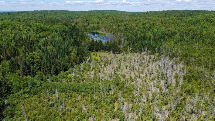
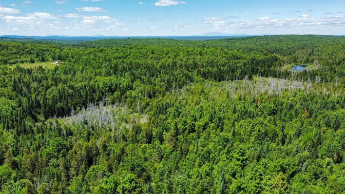
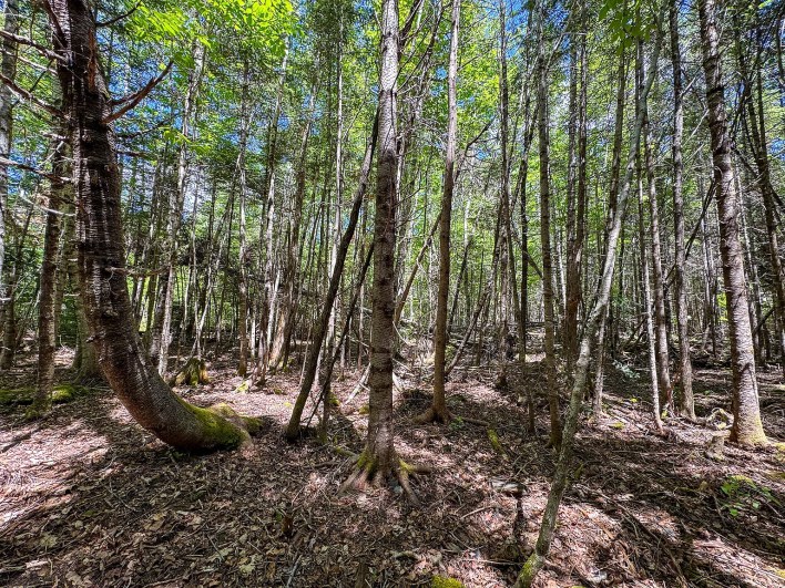
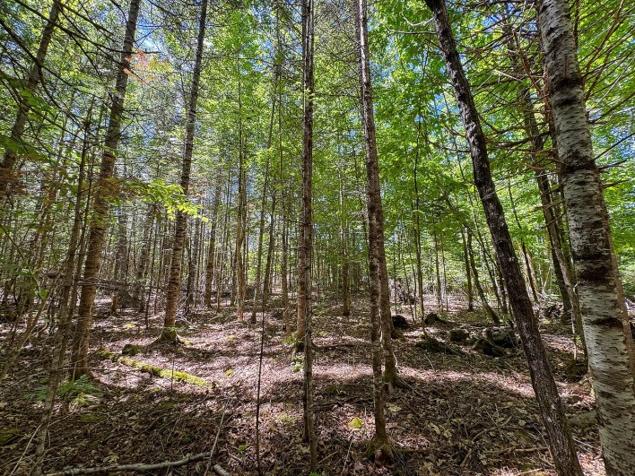
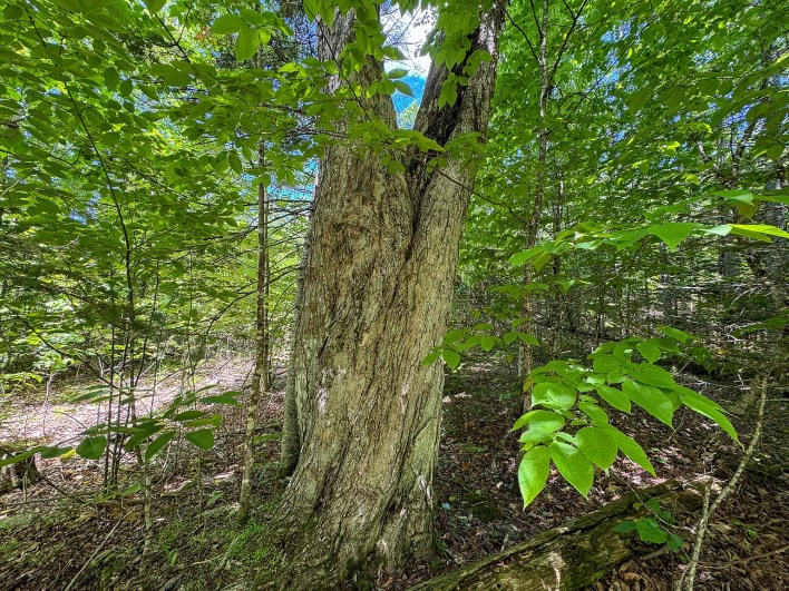
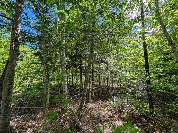
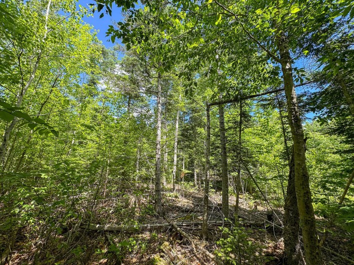
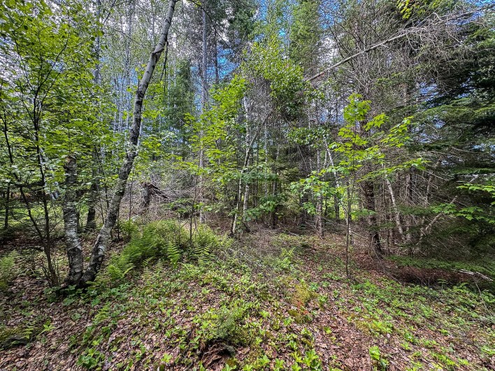
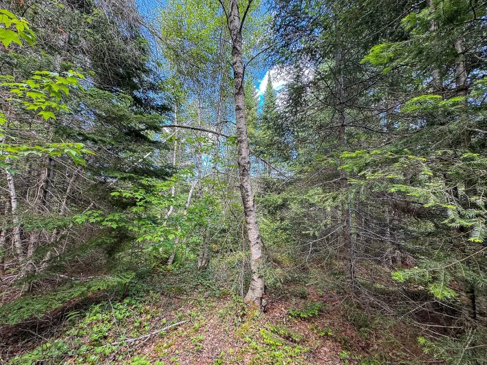
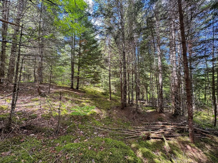
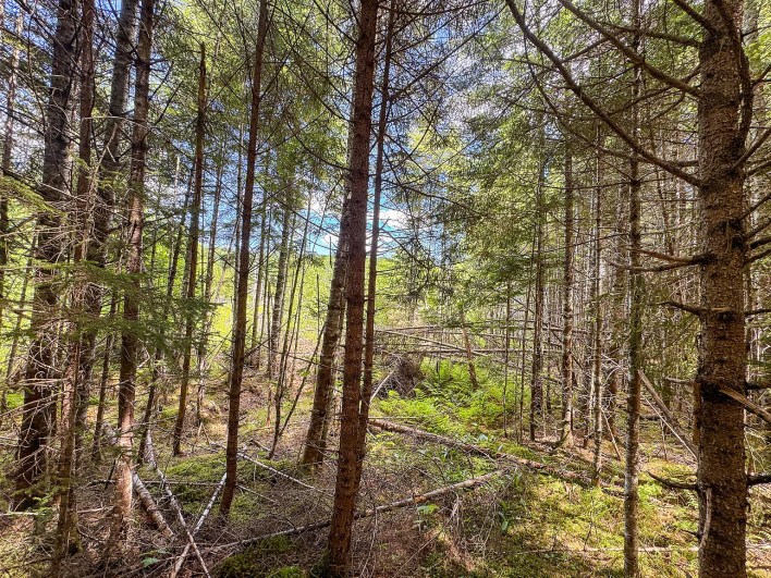
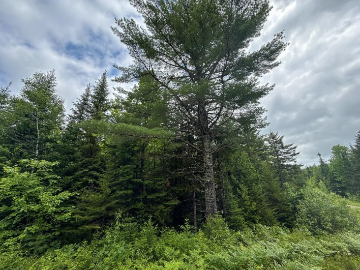
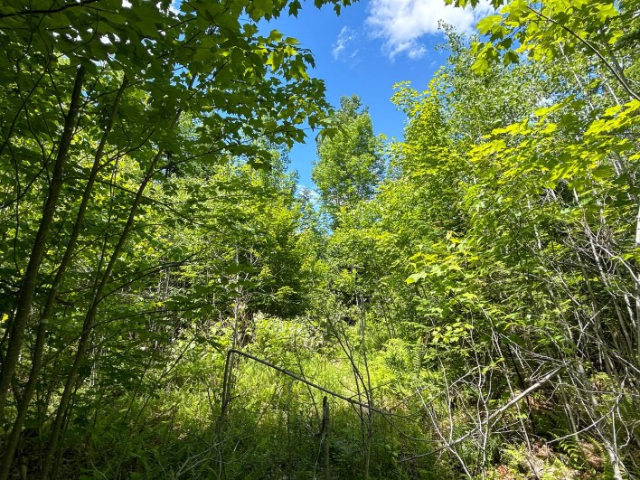
The woodland includes a mixture of northern hardwoods and conifers, including white birch, sugar maple, spruce, and fir. These trees contribute to the property’s natural character and may offer opportunities for firewood gathering or long-term timber management, subject to applicable rules and the condition of the forest.
Anyone considering commercial timber harvesting should arrange an assessment by a qualified forestry professional to understand the stand’s composition, timber value, management needs, and potential harvesting costs.
Bog Brook Headwaters and Natural Water Features
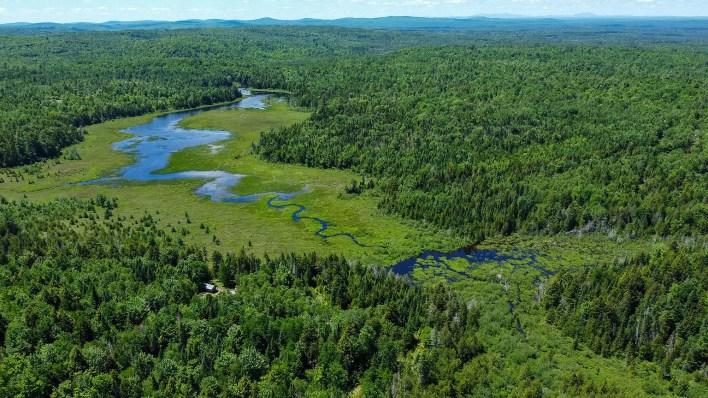
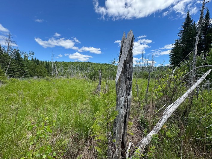
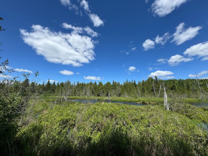
Water is another important feature described in the listing. The property includes a stream and a series of beaver ponds associated with the headwaters of Bog Brook.
These waterways and nearby wetlands add variety to the landscape and may provide habitat for wildlife. The surrounding forest and wetland areas are described as supporting species such as white-tailed deer, moose, black bears, wild turkeys, and ruffed grouse.
The combination of wooded ground and open water may interest nature watchers, photographers, and hunters. However, wildlife presence varies by season and conditions, and hunting is subject to applicable licensing and regulations.
Because streams, ponds, and wetlands can affect development, buyers should verify the locations of protected areas, applicable shoreland zoning, and any restrictions on clearing, construction, or other activities near the water.
Four-Season Outdoor Recreation
The wooded setting and existing interior roads may offer opportunities for outdoor recreation throughout the year. Depending on access conditions and local rules, potential activities could include hiking, wildlife observation, snowshoeing, and riding permitted recreational vehicles.
The supplied listing information also places the property within driving distance of the West Grand Lake area, known for outdoor activities such as fishing and boating. Buyers should confirm the distance to public access points and check any applicable access, parking, and seasonal restrictions.
For someone seeking a base for exploring eastern Maine, the acreage could provide a private place to return to after a day outdoors. As with any rural parcel, the actual recreational possibilities will depend on access rights, terrain, weather, and the owner’s intended use.
What Buyers Should Verify Before Purchasing
Before making an offer on Lot B on Lookout Lane, prospective buyers should review the listing documents and confirm several important details:
- Price and availability: Verify the current asking price, listing status, and any recent changes with the listing agent.
- Survey and access: Request the 2020 boundary survey and confirm legal access, road ownership, and any easements.
- Building regulations: Check Springfield’s zoning requirements and determine whether the intended use is permitted.
- Utilities and septic: Confirm the feasibility and estimated cost of electricity, a private well, and an approved wastewater system.
- Water and wetlands: Identify any protected areas or restrictions that could affect construction or land management.
- Timber and maintenance: Assess the forest, road condition, drainage, and any ongoing maintenance expenses.
- Taxes and ongoing costs: Confirm property taxes and any other obligations associated with owning the parcel.
These checks can help establish whether the land fits a buyer’s budget and plans.
A Large Wooded Parcel in Springfield, Maine
With approximately 84 acres, established interior roads, mature timber, clearings, and natural water features, Lot B on Lookout Lane offers several possibilities for buyers interested in rural Maine land.
It may be worth considering for a seasonal camp, a recreational property, a future homesite, or long-term land ownership. The best use will depend on local requirements, site evaluations, and the costs involved in developing or maintaining the property.
Anyone interested in learning more should review the current listing and contact the listing agent through the Zillow link provided with the original property photos.
Zillow Listing and Full Gallery